
Autonomy and AI[GEO-AI]
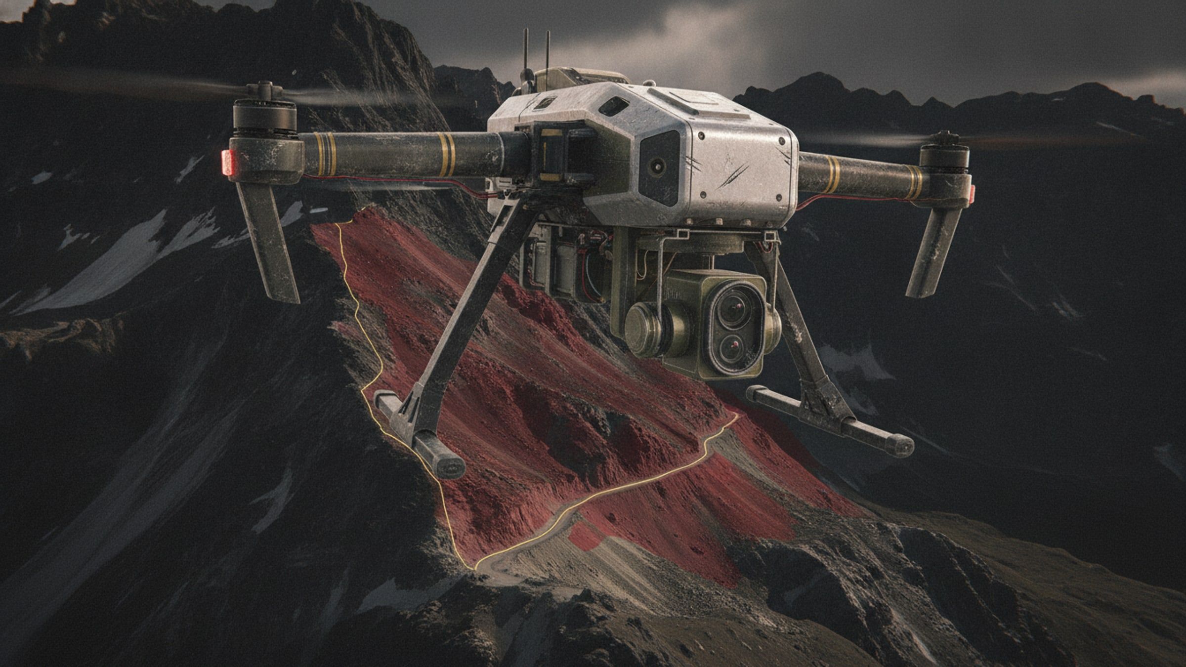
Imagery analysis that flags slopes at risk of failure, for route planning, siting and post-event assessment.
- Inputs
- Aerial and satellite imagery
- Output
- Hazard layer
- Runs
- In the field
- Use
- Route, siting, assessment
Overview
In the hills, the ground itself is the hazard. Slope failures close roads, cut off posts and take vehicles with them, and the warning signs are visible in imagery before they are visible from a vehicle window.
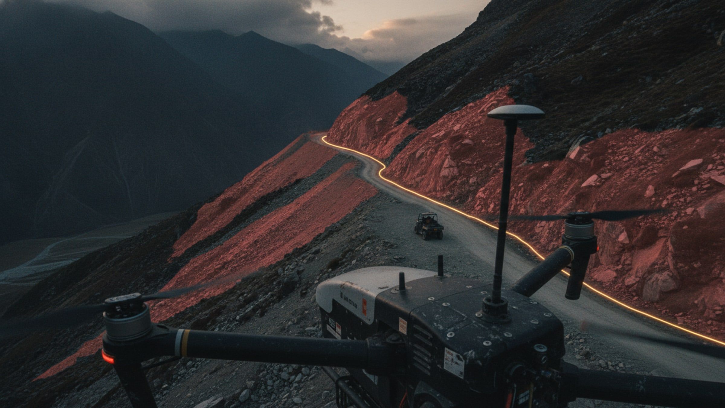
The model reads aerial and satellite imagery with terrain data and marks the slopes that show the signature of instability. Output is a layer that sits under a route plan or a siting decision, and the same model run after a storm shows what has changed.
System qualities
01 / 04
Reads the signature, not the scar
Slope, aspect, drainage and surface texture together indicate risk before a failure has happened.
02 / 04
A layer, not a verdict
Output is a mapped hazard layer that a planner reads alongside everything else, not an instruction.
03 / 04
Runs where the road is
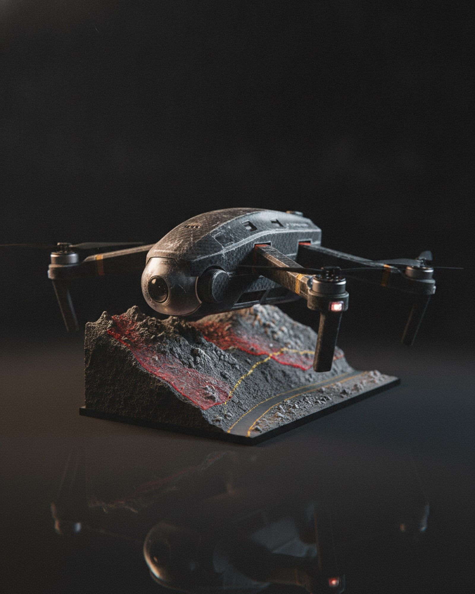
Inference runs on field hardware, so an assessment does not wait for a connection back to an office.
04 / 04
Before and after
Re-running against fresh imagery after rain or a seismic event shows what has changed and where to look first.

Specifications
Figures marked undisclosed or on request are released against a stated requirement.
Input
- Imagery
- Aerial survey or satellite
- Terrain
- Elevation model and derived slope
Output
- Layer
- Hazard classification, mapped
- Formats
- Standard geospatial raster and vector
Deployment
- Inference
- Field workstation
- Connectivity
- Not required
Use
- Applications
- Route planning, siting, post-event assessment
Documentation
- Autonomy and AI overviewAvailable on request
Applications
Works with
These are built to operate together, on one network and one picture.


Know the slope first.