
Application
Survey and mapping
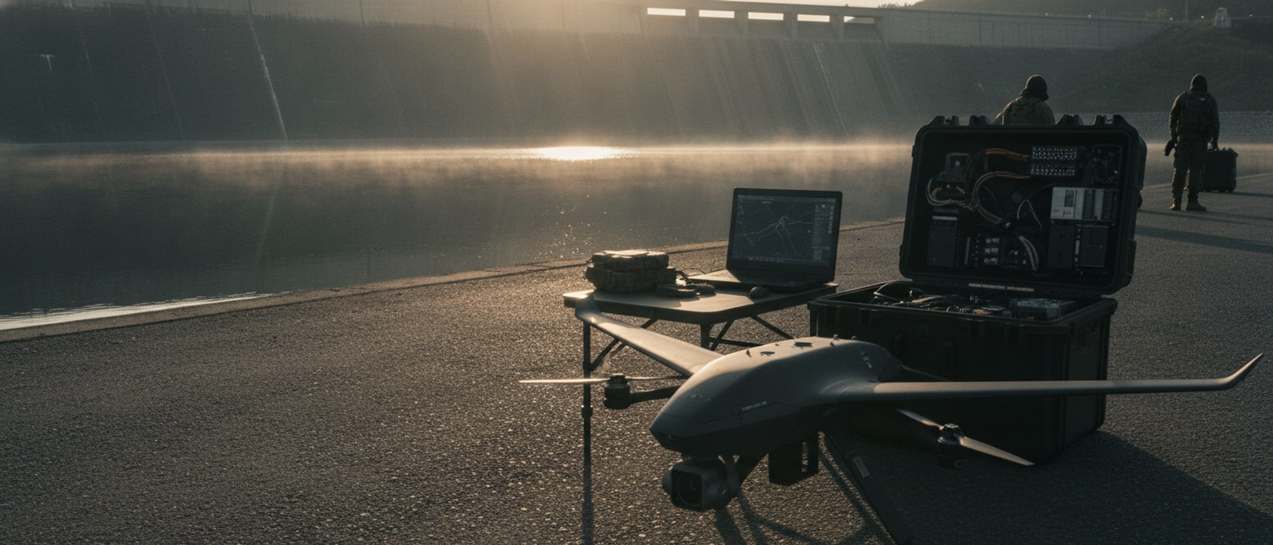
Survey-grade ground models of sites, corridors and terrain, produced on your own hardware.
The problem
Ground truth for planning, construction and land records is still commonly gathered on foot, slowly, and processed by a service that takes the imagery away with it. For a dam, a mine, a road alignment or a cantonment, the requirement is a measurable surface at a known accuracy, produced quickly, without the data leaving the organisation that owns it.
How it runs
A typical deployment
- 01
Plan the area on site
Draw the boundary, set the resolution, and the control station computes the flight grid, the overlap and the battery changes required.
- 02
Fly imagery, laser, or both
A calibrated mapping camera for open ground; a laser scanner where vegetation hides the surface that actually matters.
- 03
Process on your own workstation
Orthomosaic, elevation model, contours and a dense point cloud are built on hardware you control, with nothing uploaded anywhere.
- 04
Read the terrain for risk
The same imagery is run for slope instability, giving a hazard layer to plan the alignment or the siting against.
- 05
Fly it again later
The saved plan is repeatable, so a site flown months apart can be compared like for like.
Systems used
What we would field
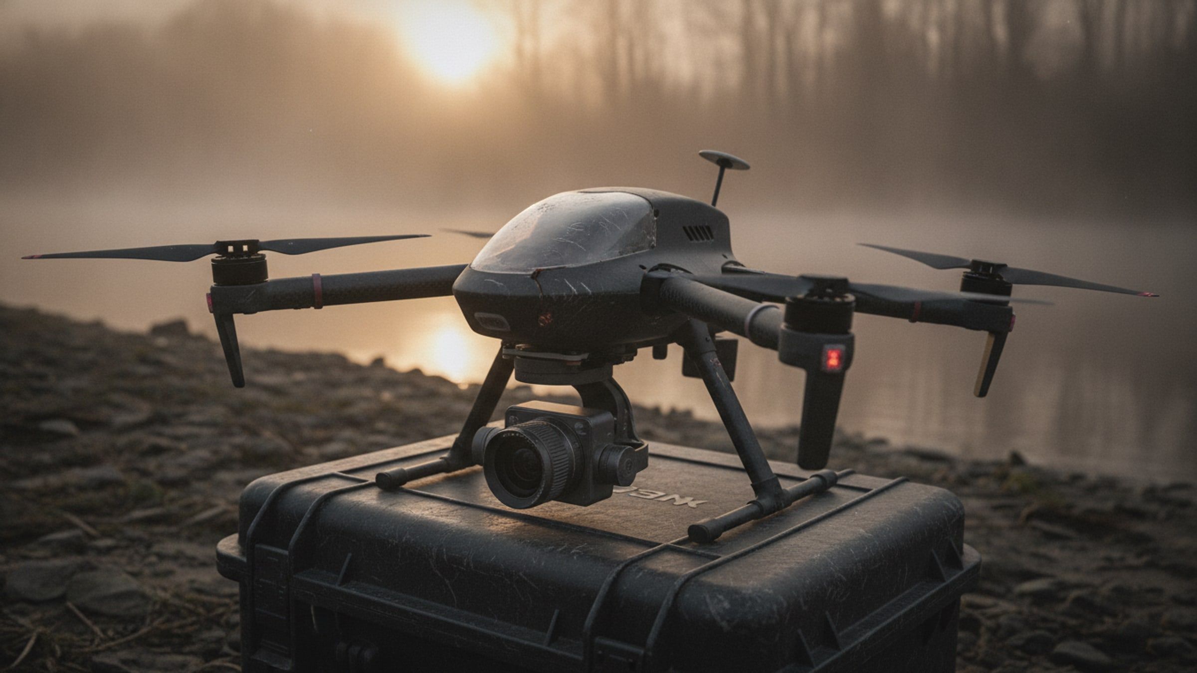
Map it once, precisely.
Survey and Mapping UAV
Multirotor survey aircraft producing survey-grade orthomosaics, contours and elevation models from a single flight.
[SURVEY-UAV]
See through the canopy.
LiDAR Mapping UAV
Laser-scanning aircraft that measures bare ground under vegetation and returns a dense, classified point cloud.
[LIDAR-UAV]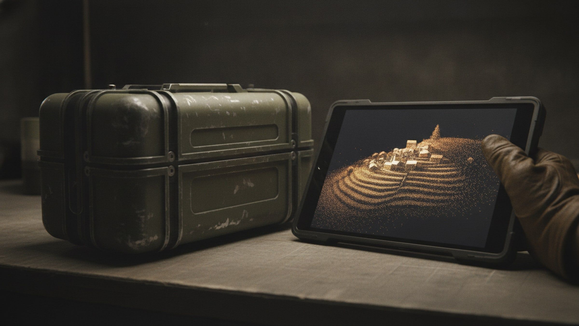
From imagery to terrain.
Photogrammetry and 3D Reconstruction Suite
Processing that turns survey imagery into orthomosaics, point clouds and navigable 3D scenes on your own hardware.
[RECON-3D]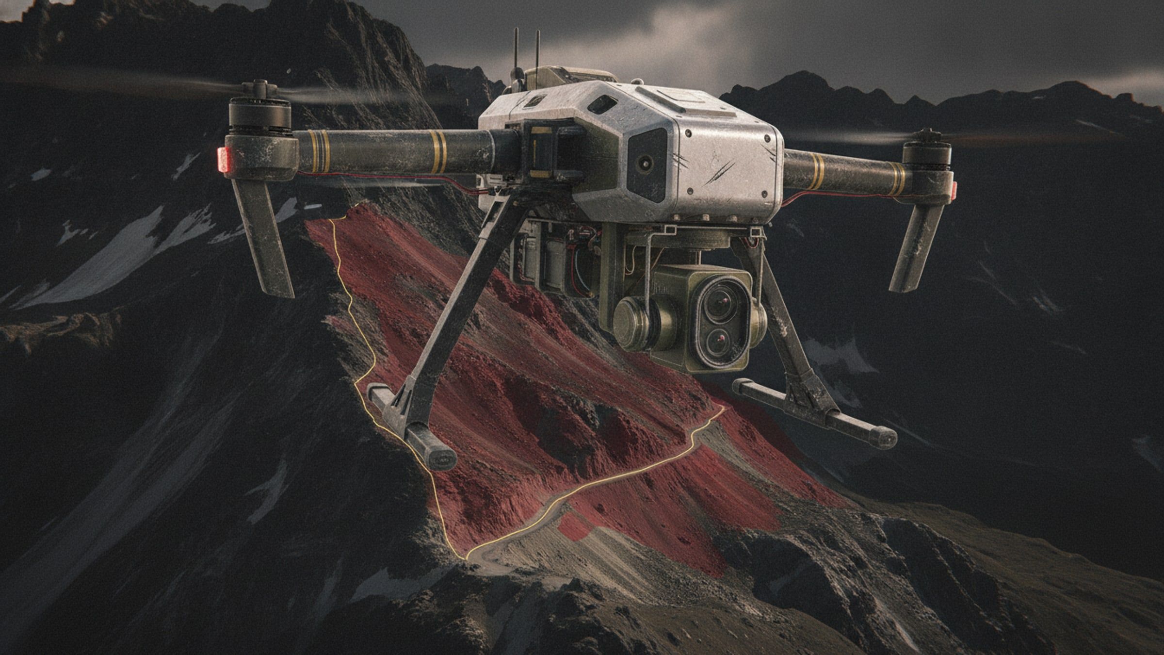
Know the slope first.
Terrain Hazard Detection
Imagery analysis that flags slopes at risk of failure, for route planning, siting and post-event assessment.
[GEO-AI]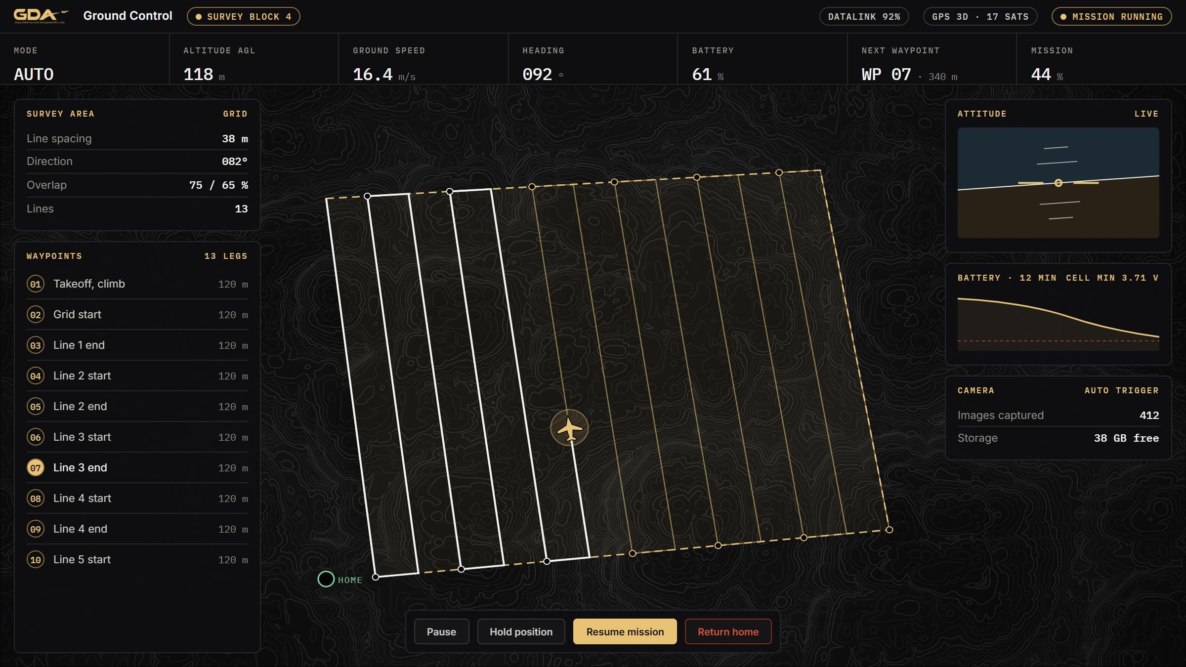
Plan, fly, record.
Ground Control Station Software
A browser-based control station for a single aircraft: mission planning, live telemetry, geofencing and full flight records.
[GCS]Next step
Planning for survey and mapping?
Tell us the task, the terrain and the timeline. We will come back with what we would field and what it would take.