
Application
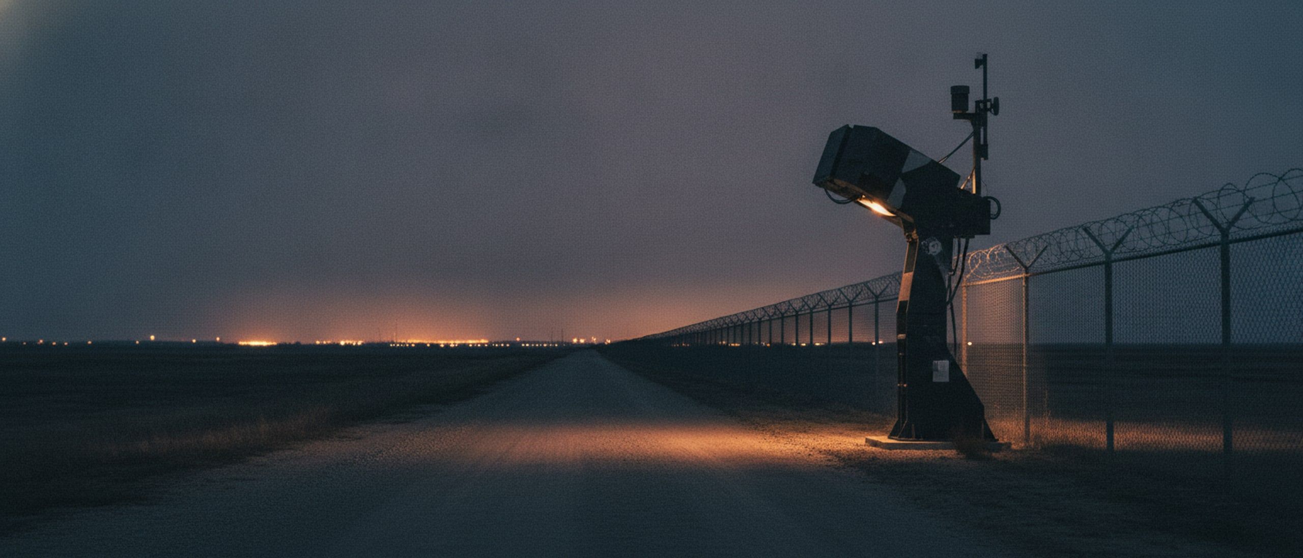
Base and perimeter protection
Watching the fence, the approaches and the airspace above a fixed position.
The problem
A perimeter is only as good as the attention paid to it, and attention is the scarcest thing on a long night. The threat has also moved upward: a small drone over the wire carries a camera or a charge, arrives faster than a patrol can react, and is nearly invisible until it is close.
How it runs
A typical deployment
- 01
Watch the ground continuously
Fixed and mast-mounted sensors feed detection that runs all night without getting tired, raising only what is worth a human look.
- 02
Watch the airspace too
Radio-signature detection and radar find small unmanned aircraft on approach, and sensors confirm what has been found.
- 03
One picture for the guard
Ground and air tracks appear together on the same map, on the guard commander's handset as well as in the operations room.
- 04
Respond proportionately
A track over the wire can be met with directed jamming, a directed electromagnetic effect, or a man-portable device carried to the spot.
- 05
Deny the ground approaches
Obstacles are placed and later recovered by a remotely operated vehicle, with every placement logged.
Systems used
What we would field
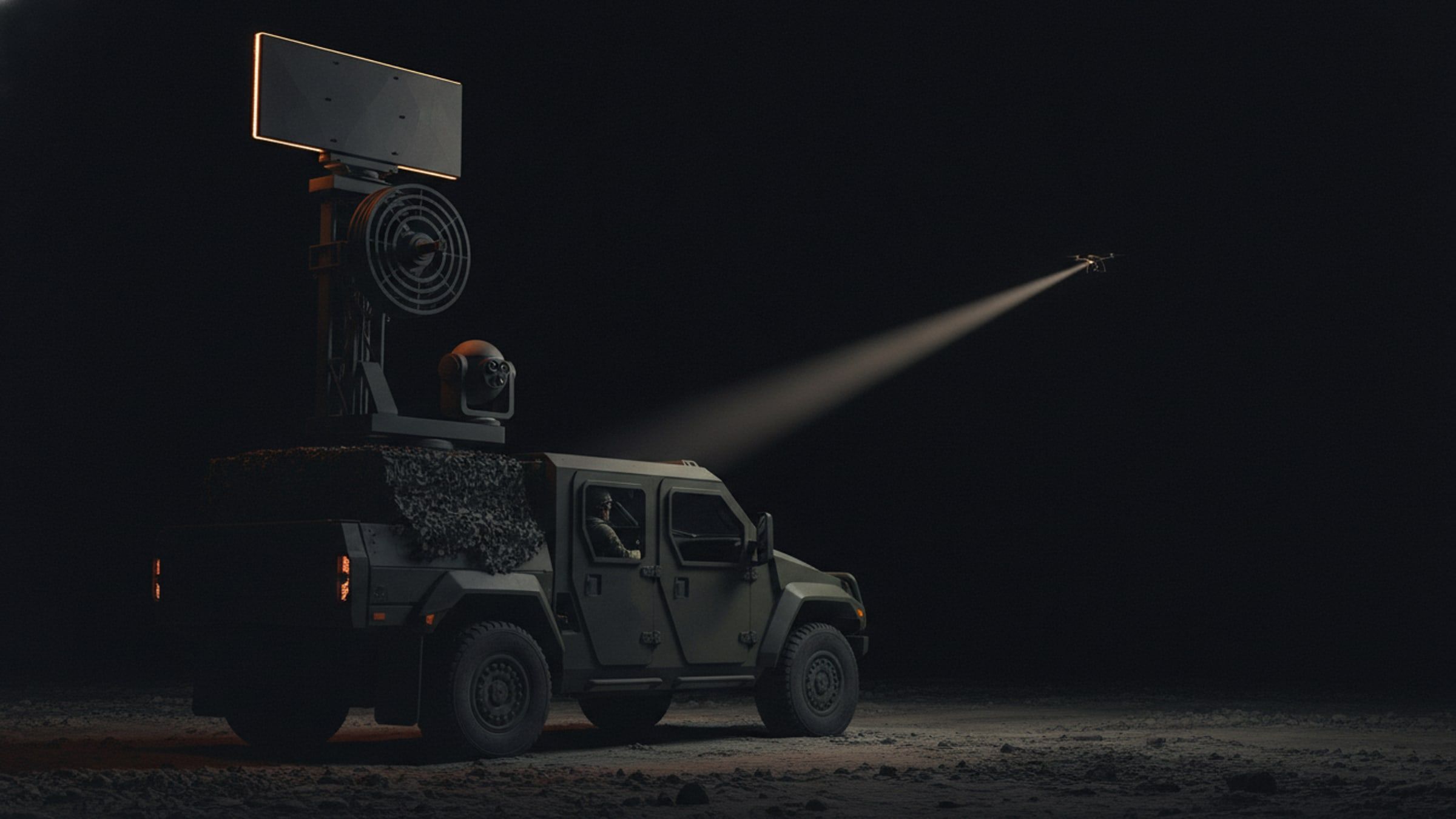
Detect, track, defeat.
Counter-UAS System
Layered detection, classification and defeat of small unmanned aircraft, fixed or vehicle mounted.
[C-UAS]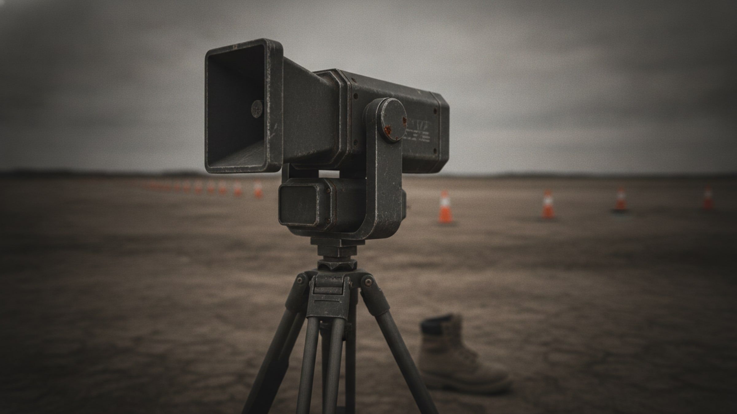
Silence the electronics.
Electromagnetic Pulse Effector
A directed high-power electromagnetic effect that disables the electronics of small unmanned aircraft.
[EMP]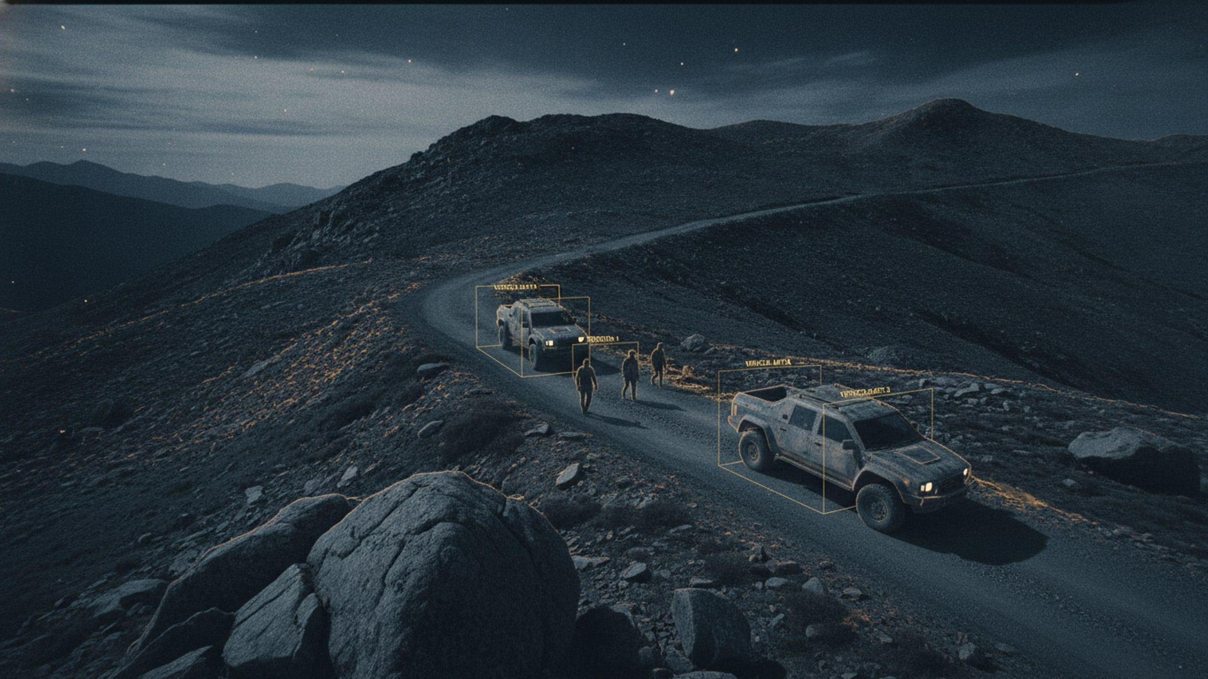
Find, follow, flag.
AI Object Detection and Tracking
Detection and tracking of people and vehicles in live video, running on the aircraft rather than in a data centre.
[AI-TRACK]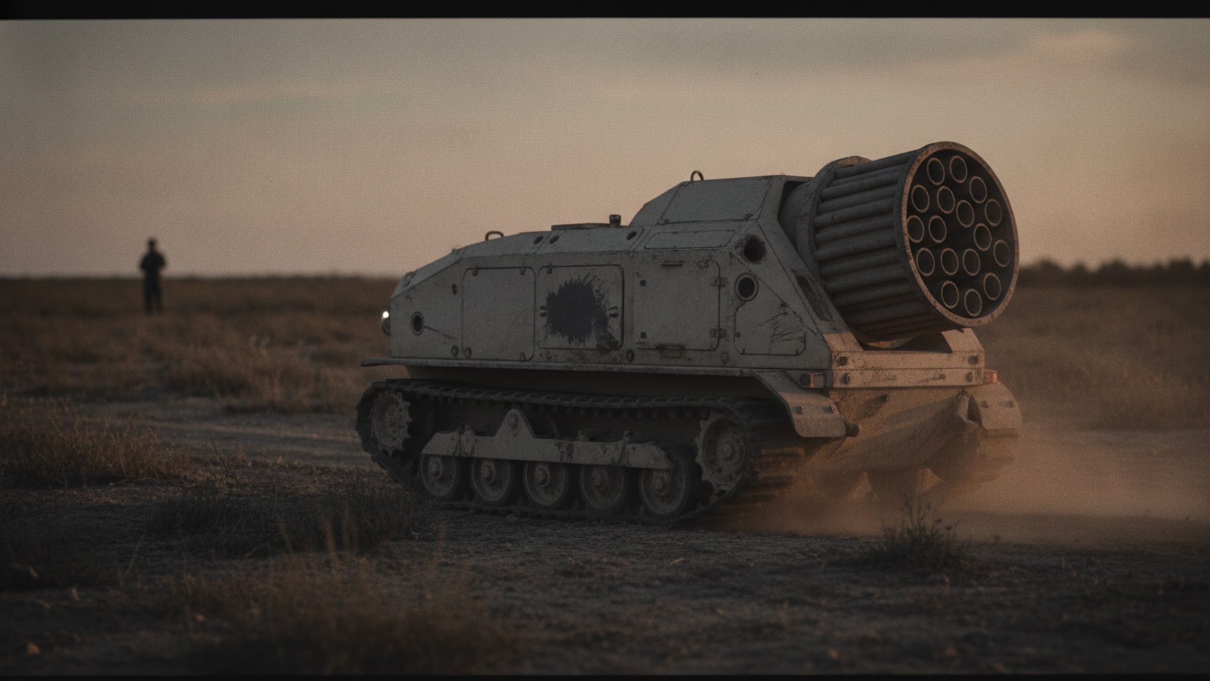
Deny ground at stand-off.
Remote Mine-Laying Rover
A remotely operated tracked vehicle that lays or retrieves stores along a planned line, keeping people out of the area entirely.
[UGV-DENIAL]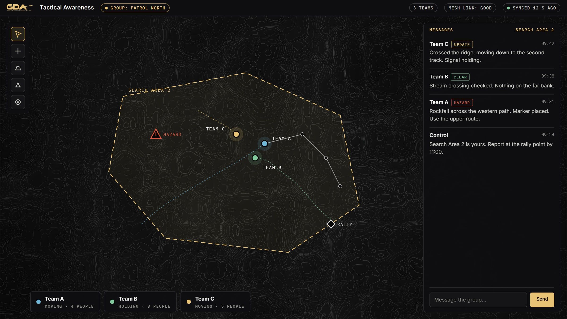
See your team. No network.
Tactical Awareness Application
Android and desktop application showing every team position, message and marker on one map, carried over mesh radio with no mobile network.
[C2-APP]Next step
Planning for base protection?
Tell us the task, the terrain and the timeline. We will come back with what we would field and what it would take.