
Application
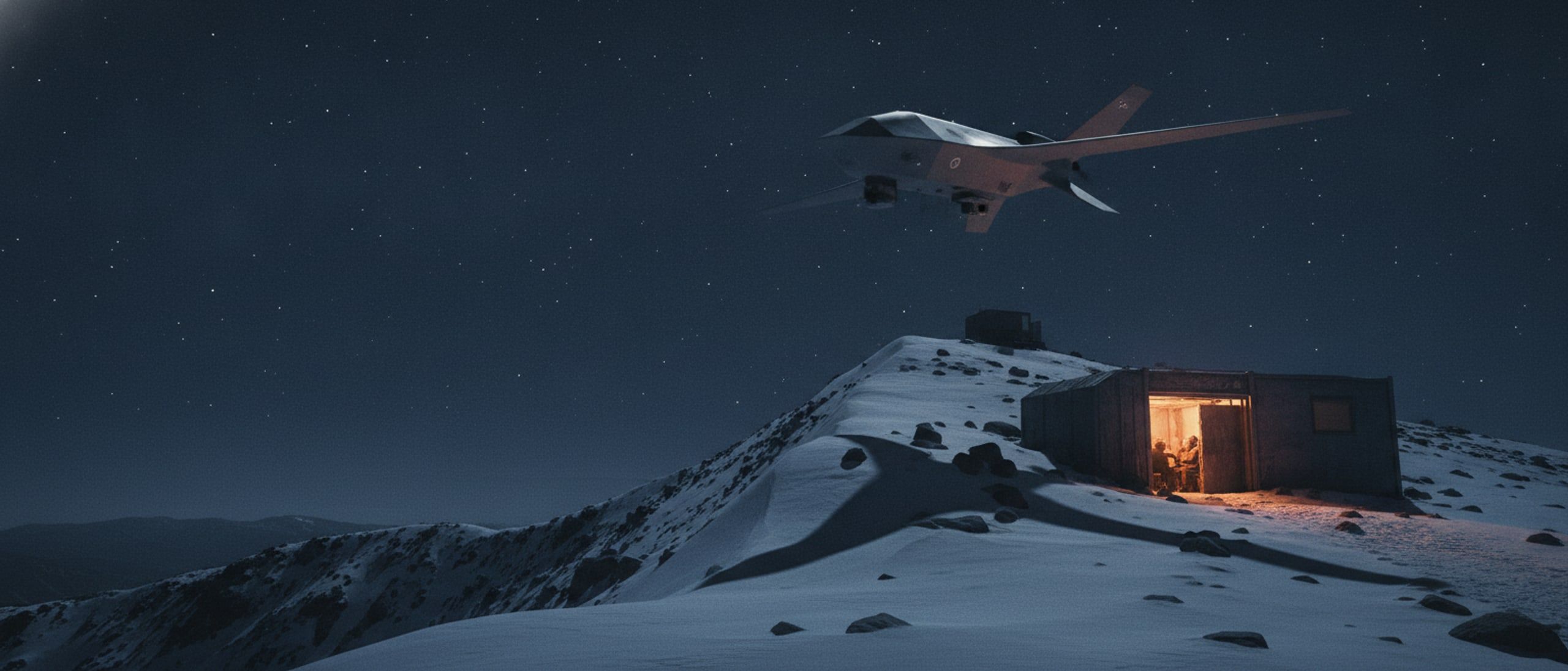
Border and high-altitude surveillance
Persistent watch over ground that is too high, too cold and too large to hold with people alone.
The problem
A line of posts on a high ridge can see a great deal and still miss the approach that matters. The ground is vast, the weather closes the observation window for days at a time, and at four thousand metres an aircraft that performs well on a plain may not leave the ground at all. What is needed is height, endurance and the ability to identify what has been detected, all from a launch point that is a patch of rock.
How it runs
A typical deployment
- 01
Launch from the post
The aircraft lifts vertically from unprepared ground beside the position, with no runway, launcher or prepared site.
- 02
Hold the sector
It transitions to wing-borne flight and flies a standing pattern over the assigned sector, with the stabilised day and thermal payload searching.
- 03
Identify, do not just detect
Onboard detection flags movement; long optical zoom and the rangefinder turn a contact at distance into an identification with a position.
- 04
Everyone sees the same thing
The track is published into the awareness picture on every handset and at the command post, carried over the mesh where there is no network.
- 05
Recover and turn round
The aircraft returns to the post, lands vertically on the same patch of ground, and is ready again after a battery change.
Systems used
What we would field
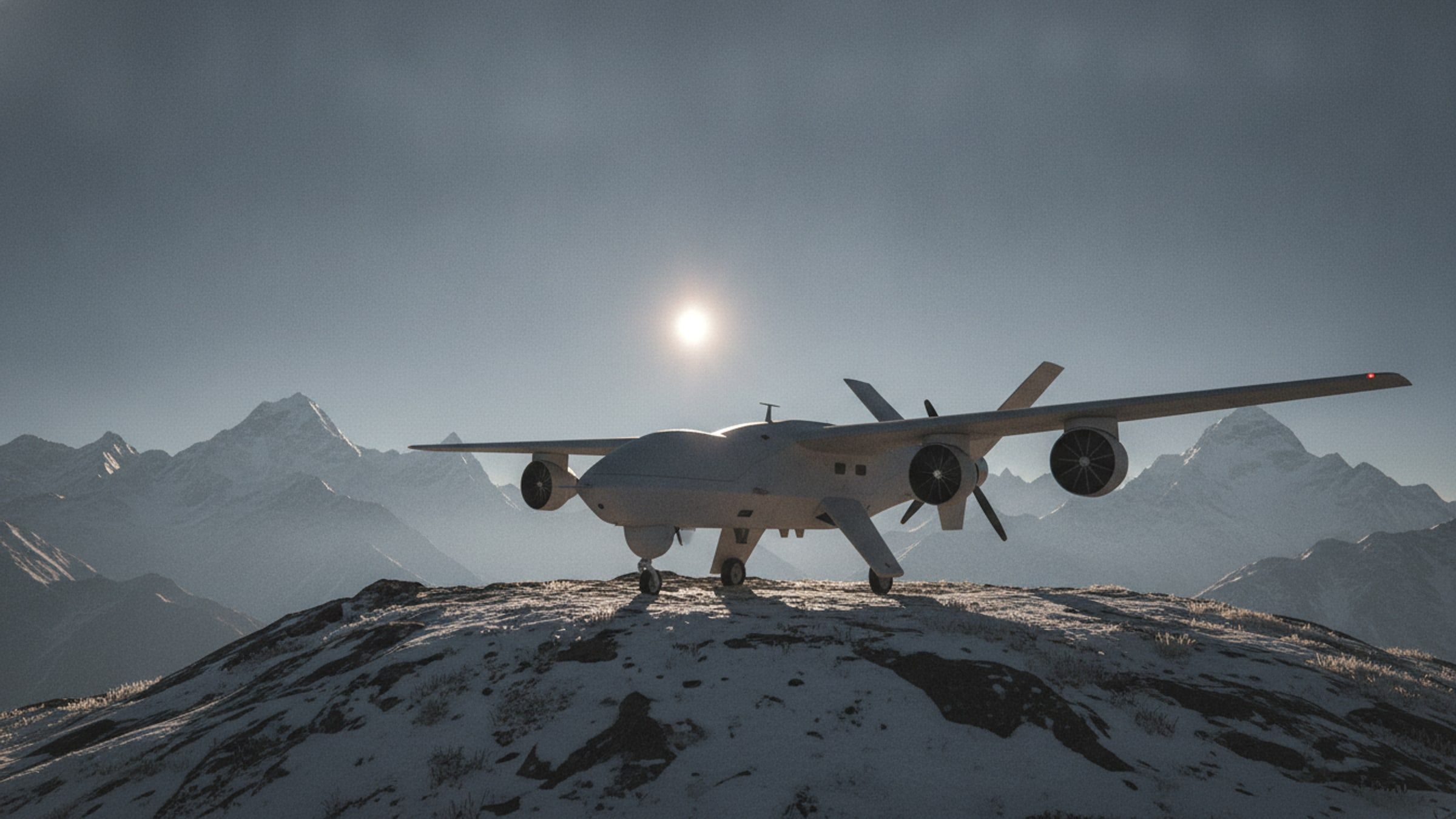
Watch from thin air.
High-Altitude ISR UAV
Vertical take-off reconnaissance aircraft built for thin air, extreme cold and launch sites with no runway.
[ISR-UAV]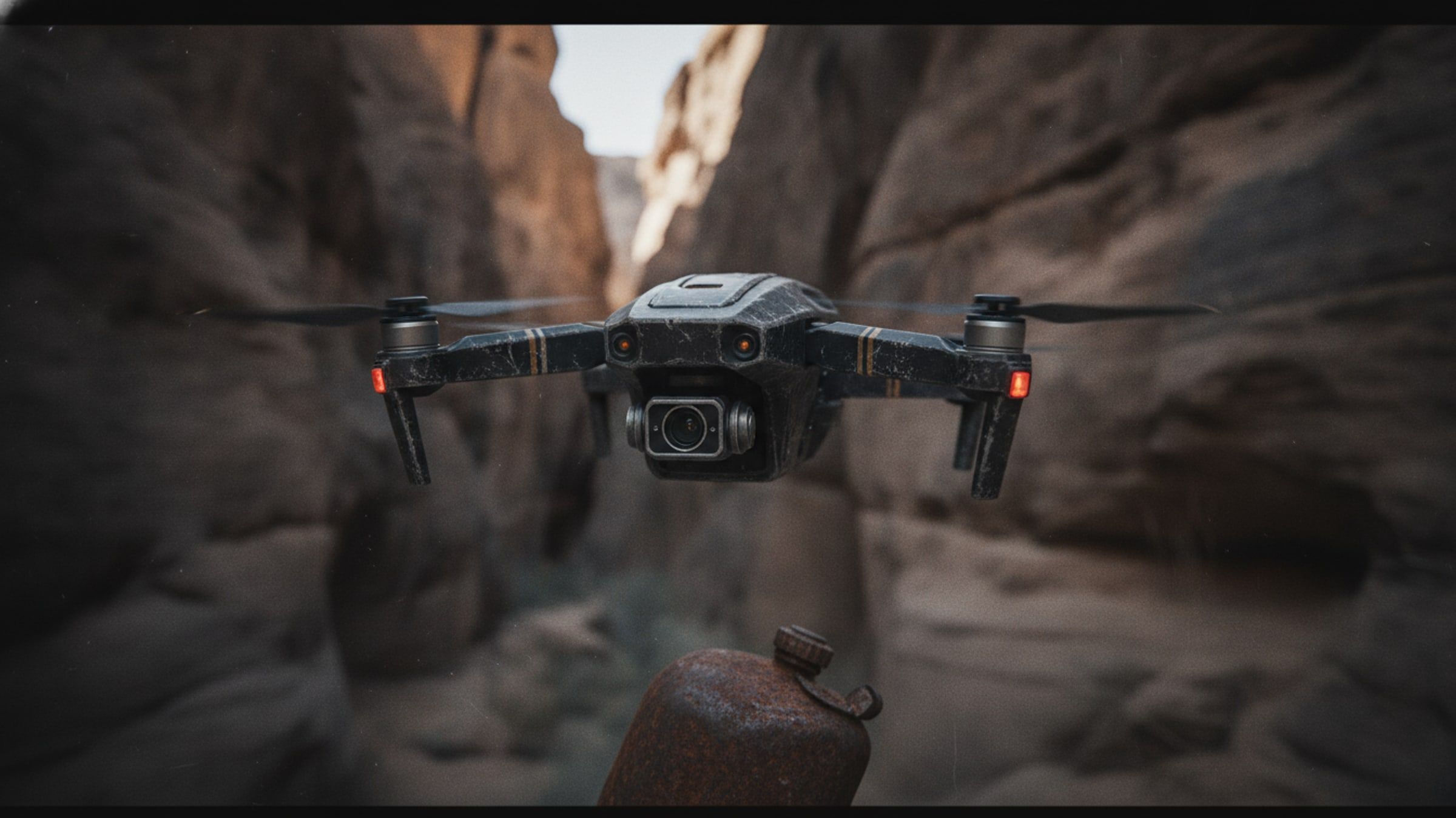
Fly without a fix.
Navigation-Denied UAV
Aircraft that keeps flying its mission when satellite navigation is jammed, spoofed or simply unavailable.
[NAV-DENIED]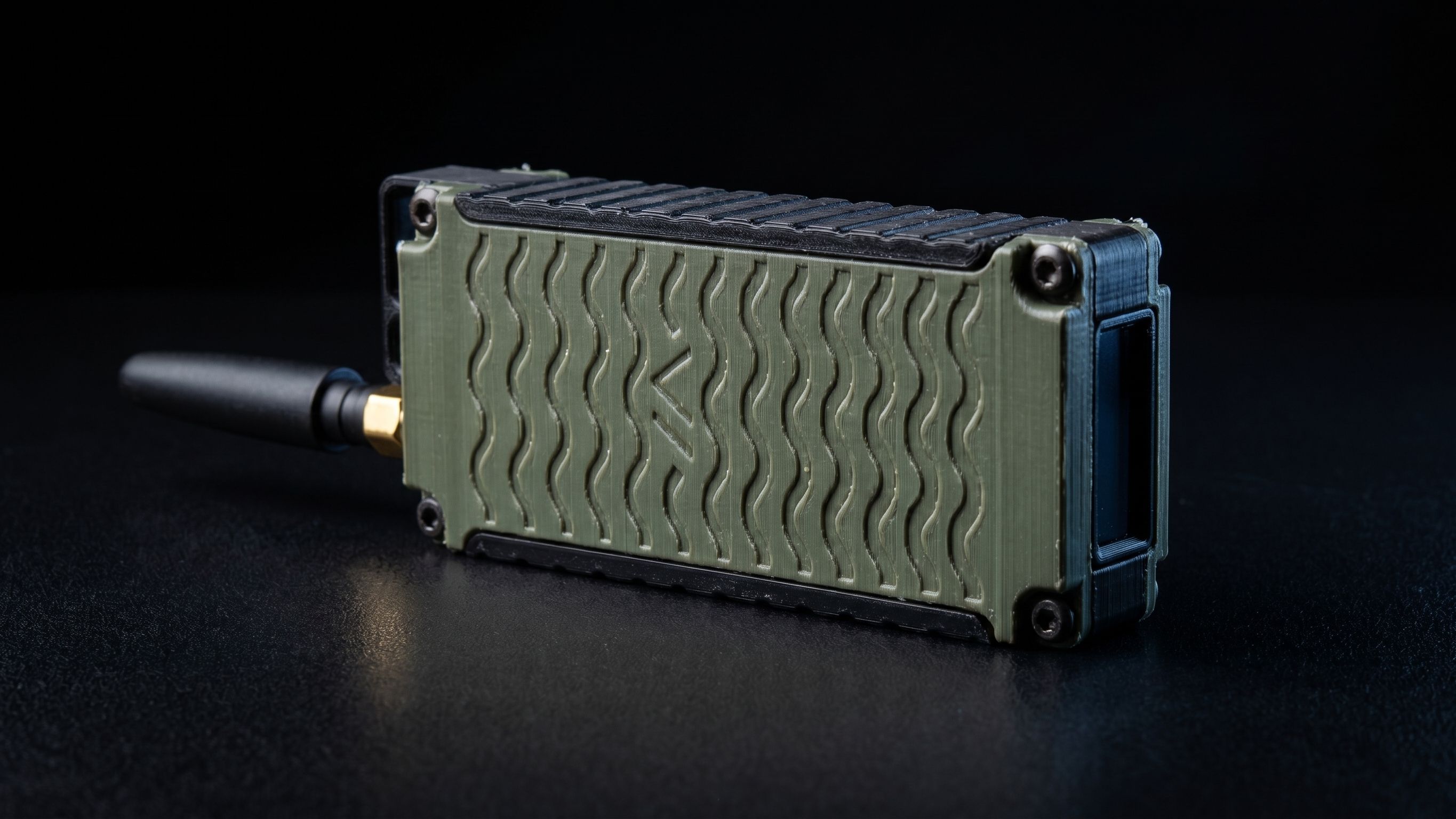
Coverage where there is none.
Rugged Mesh Radio Node
A pocket-sized long-range radio that forms a self-healing network with every other node in range, with no base station.
[MESH-NODE]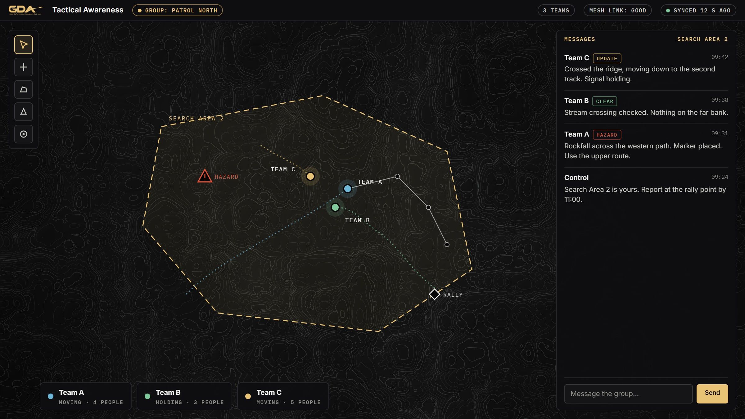
See your team. No network.
Tactical Awareness Application
Android and desktop application showing every team position, message and marker on one map, carried over mesh radio with no mobile network.
[C2-APP]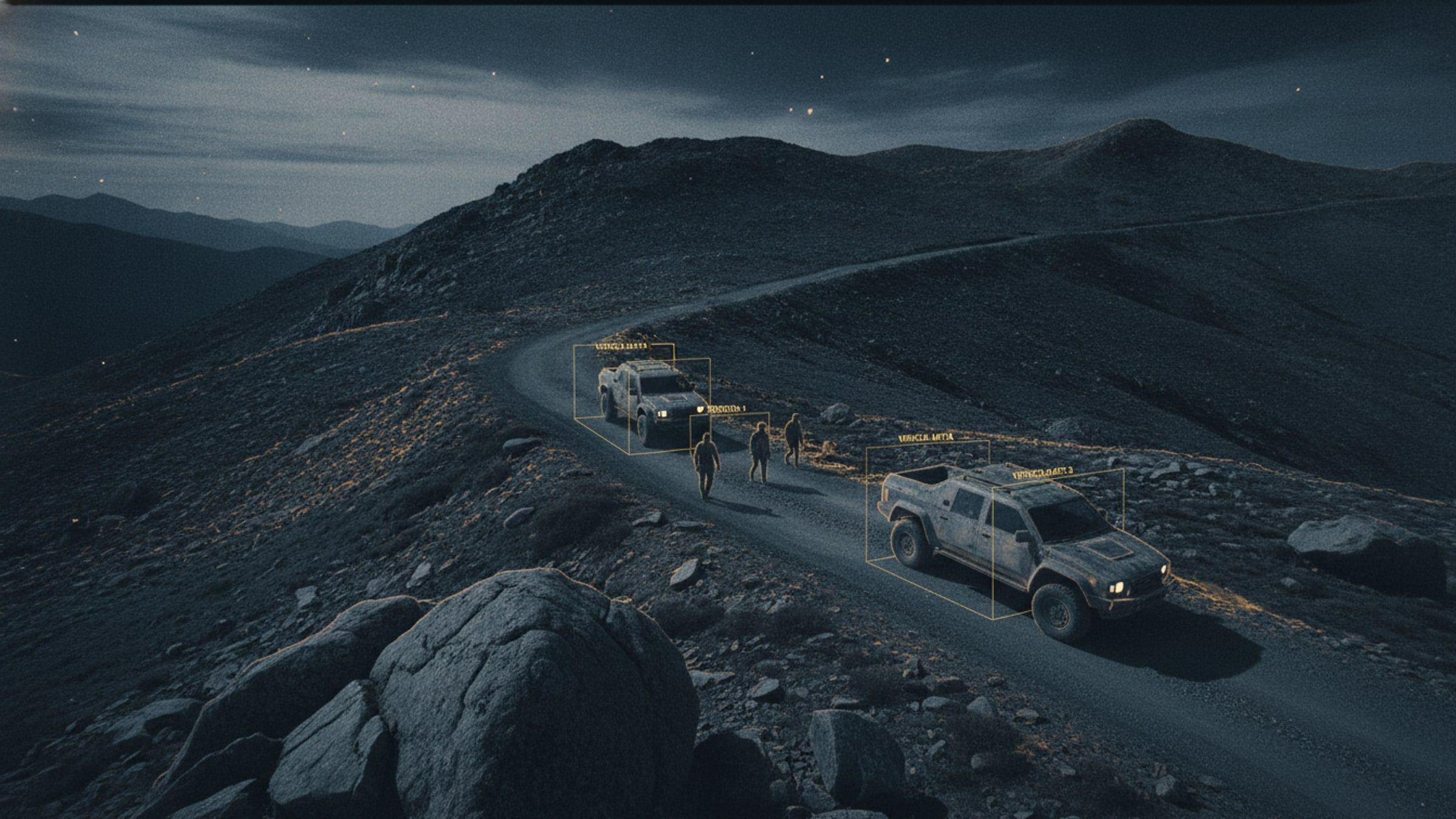
Find, follow, flag.
AI Object Detection and Tracking
Detection and tracking of people and vehicles in live video, running on the aircraft rather than in a data centre.
[AI-TRACK]Next step
Planning for border surveillance?
Tell us the task, the terrain and the timeline. We will come back with what we would field and what it would take.