
Portfolio
22 systems across seven domains.
Built to work as one network rather than as separate purchases. Every system below is designed, integrated and supported by GDA.
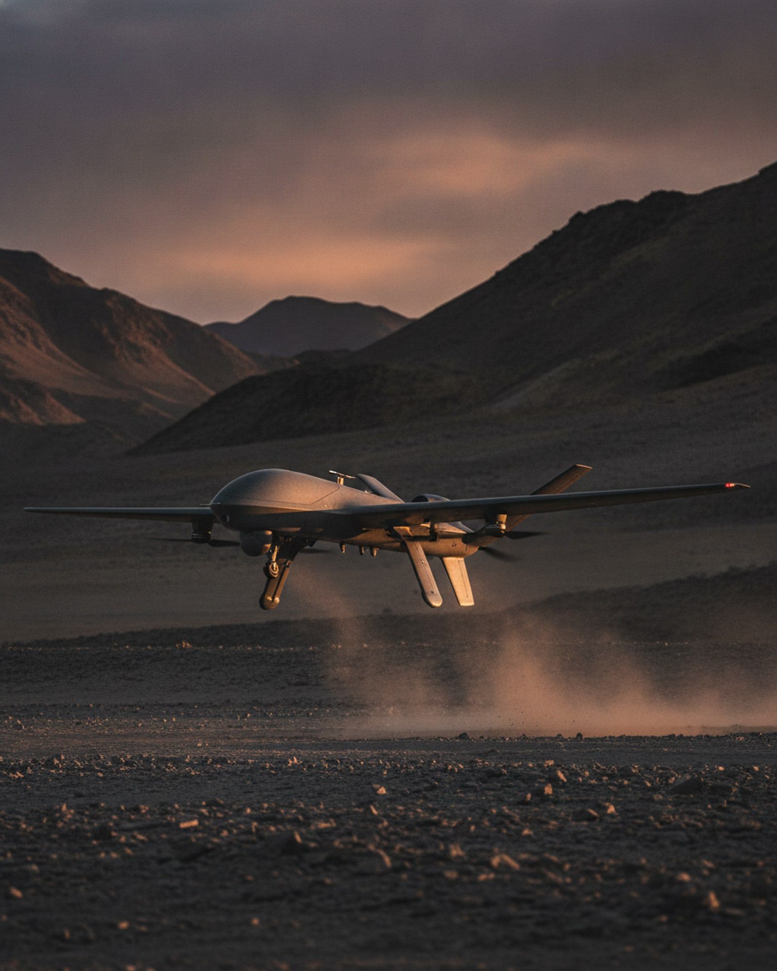
- Survey and Mapping UAV[SURVEY-UAV]Multirotor survey aircraft producing survey-grade orthomosaics, contours and elevation models from a single flight.
- LiDAR Mapping UAV[LIDAR-UAV]Laser-scanning aircraft that measures bare ground under vegetation and returns a dense, classified point cloud.
- High-Altitude ISR UAV[ISR-UAV]Vertical take-off reconnaissance aircraft built for thin air, extreme cold and launch sites with no runway.
- Navigation-Denied UAV[NAV-DENIED]Aircraft that keeps flying its mission when satellite navigation is jammed, spoofed or simply unavailable.
- Swarm UAV System[SWARM]A fleet flown as a single formation from one station: arm, launch, reshape in flight, task and recover together.
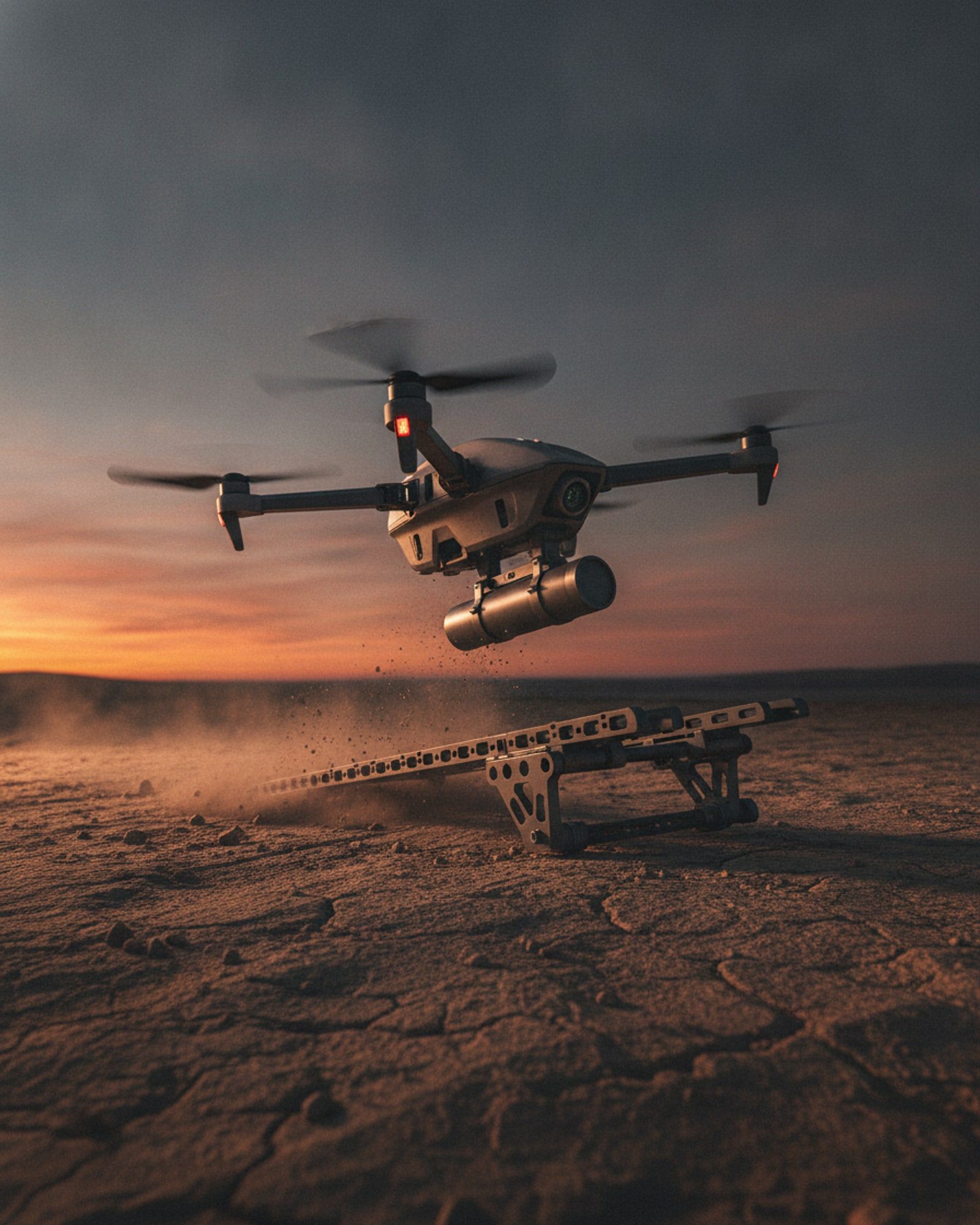
- Loitering Munition[LOITERING]An aircraft that searches, holds over the area, and delivers its effect only when the operator confirms the target.
- FPV Strike Quadrotor[FPV-STRIKE]A small, fast, first-person-view strike aircraft launched from the ground, from aircraft or from ships.
- Anti-Armour Drone[ANTI-ARMOUR]A strike aircraft carrying a shaped charge, flown onto the weakest aspect of an armoured vehicle.
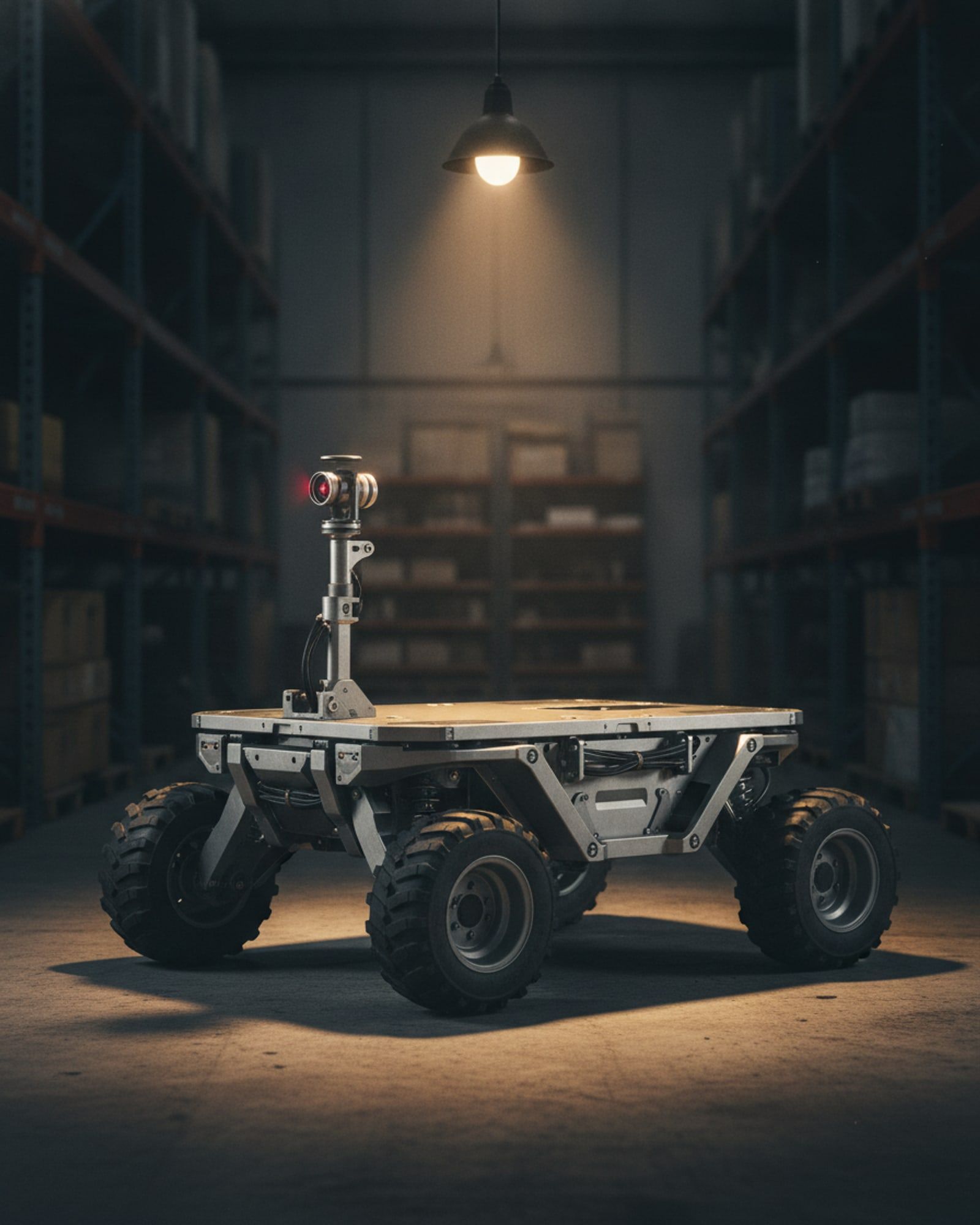
- Autonomous Logistics Rover[UGV-LOGISTICS]A skid-steer rover that maps a depot or warehouse once, then carries loads between named points on its own.
- Remote Mine-Laying Rover[UGV-DENIAL]A remotely operated tracked vehicle that lays or retrieves stores along a planned line, keeping people out of the area entirely.
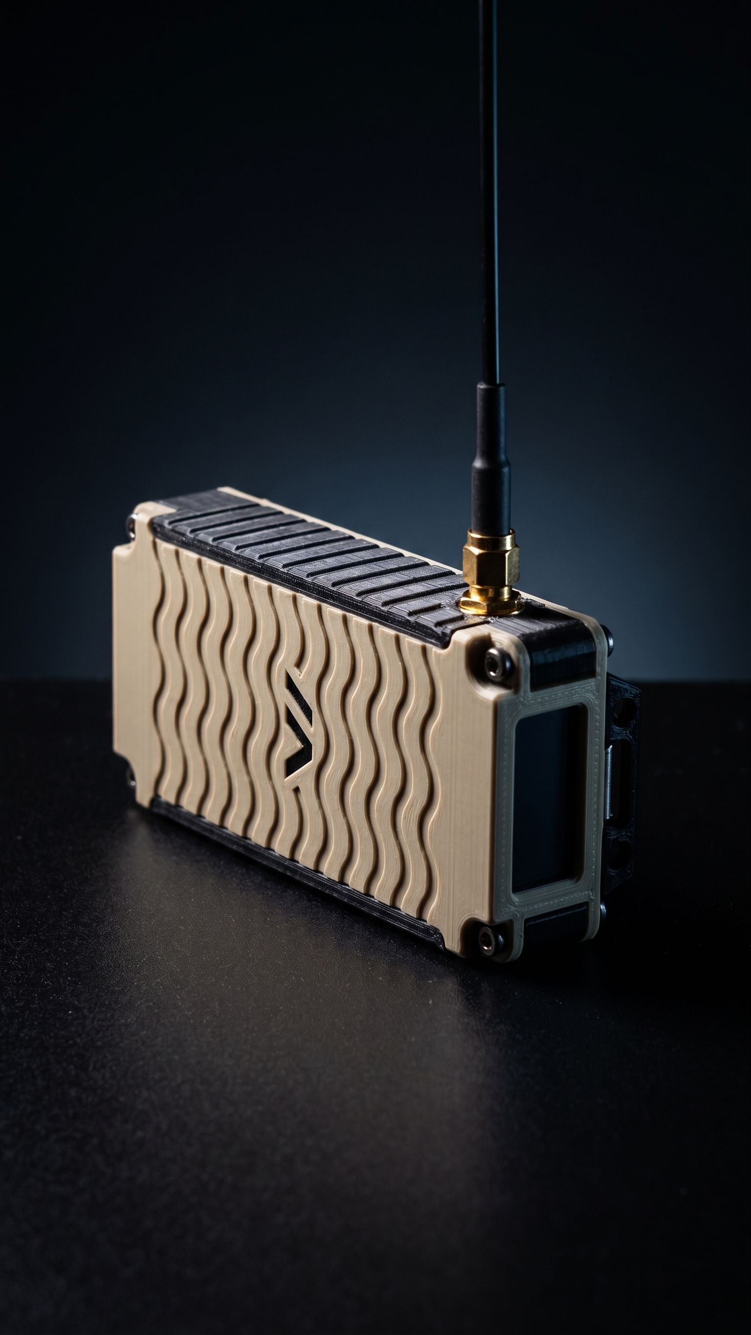
- Tactical Awareness Application[C2-APP]Android and desktop application showing every team position, message and marker on one map, carried over mesh radio with no mobile network.
- Rugged Mesh Radio Node[MESH-NODE]A pocket-sized long-range radio that forms a self-healing network with every other node in range, with no base station.
- Ground Control Station Software[GCS]A browser-based control station for a single aircraft: mission planning, live telemetry, geofencing and full flight records.
- Swarm Ground Control Station[SWARM-GCS]One station and one operator commanding a whole formation: launch, shape, task, release and recover.
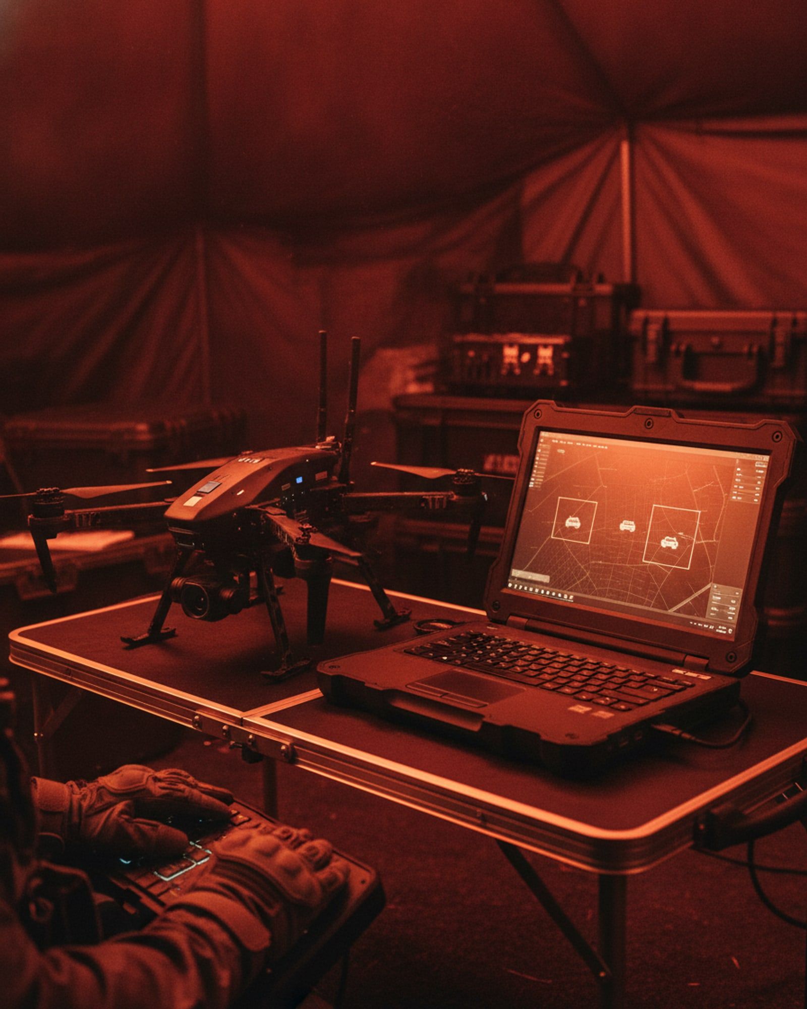
- AI Object Detection and Tracking[AI-TRACK]Detection and tracking of people and vehicles in live video, running on the aircraft rather than in a data centre.
- Edge Document Intelligence Terminal[EDGE-AI]An air-gapped assistant that reads your own documents and answers questions with the page the answer came from.
- Terrain Hazard Detection[GEO-AI]Imagery analysis that flags slopes at risk of failure, for route planning, siting and post-event assessment.
- Photogrammetry and 3D Reconstruction Suite[RECON-3D]Processing that turns survey imagery into orthomosaics, point clouds and navigable 3D scenes on your own hardware.
Next step
Brief us on your requirement.
Tell us the task, the terrain and the timeline. We will come back with what we would field and what it would take.